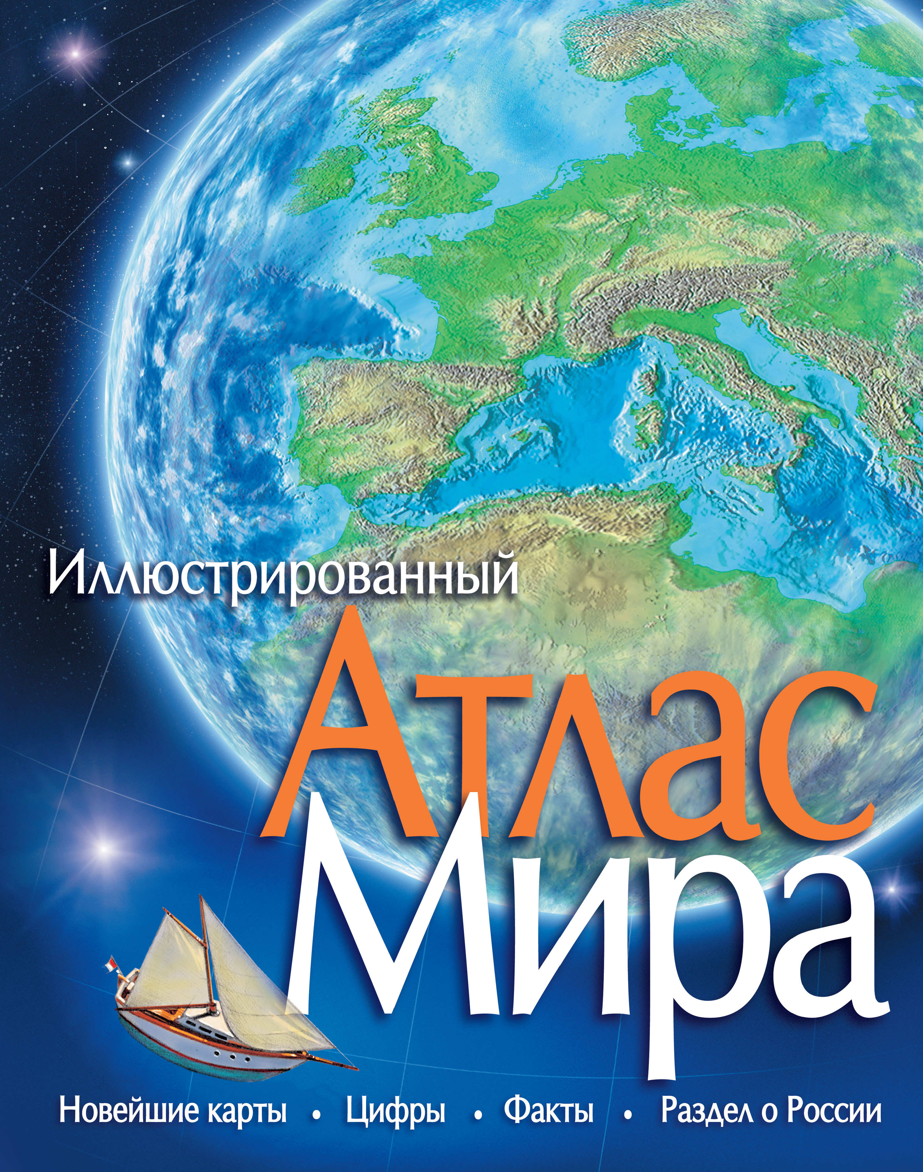
Атлас Мира. Атласы Иллюстрированный Атлас Мира это объемный портрет Земли, созданный на основе последних данных и новых компьютерных технологий. 100 подробных карт. Более 1000 рисунков и фотографий. Снимки Земли со спутников. Самые последние данные обо всех регионах мира. Подробный алфавитный указатель: более 9000 географических названий. Карты-врезки и диаграммы, содержащие много важных сведений. Атлас станет незаменимым справочным пособием и настольной книгой для всех, кто интересуется экономической, физической и политической географией нашей...
Atlas Mira. Atlasy Illyustrirovannyy Atlas Mira eto obemnyy portret Zemli, sozdannyy na osnove poslednikh dannykh i novykh kompyuternykh tekhnologiy. 100 podrobnykh kart. Bolee 1000 risunkov i fotografiy. Snimki Zemli so sputnikov. Samye poslednie dannye obo vsekh regionakh mira. Podrobnyy alfavitnyy ukazatel: bolee 9000 geograficheskikh nazvaniy. Karty-vrezki i diagrammy, soderzhashchie mnogo vazhnykh svedeniy. Atlas stanet nezamenimym spravochnym posobiem i nastolnoy knigoy dlya vsekh, kto interesuetsya ekonomicheskoy, fizicheskoy i politicheskoy geografiey nashey...
Illustrated Atlas of the World is three-dimensional portrait of the Earth, created on the basis of the latest data and new computer technology.
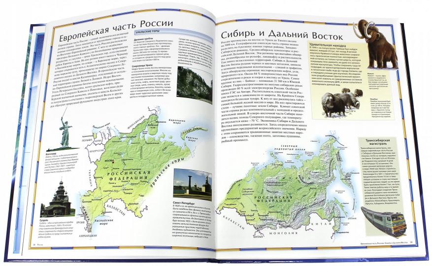
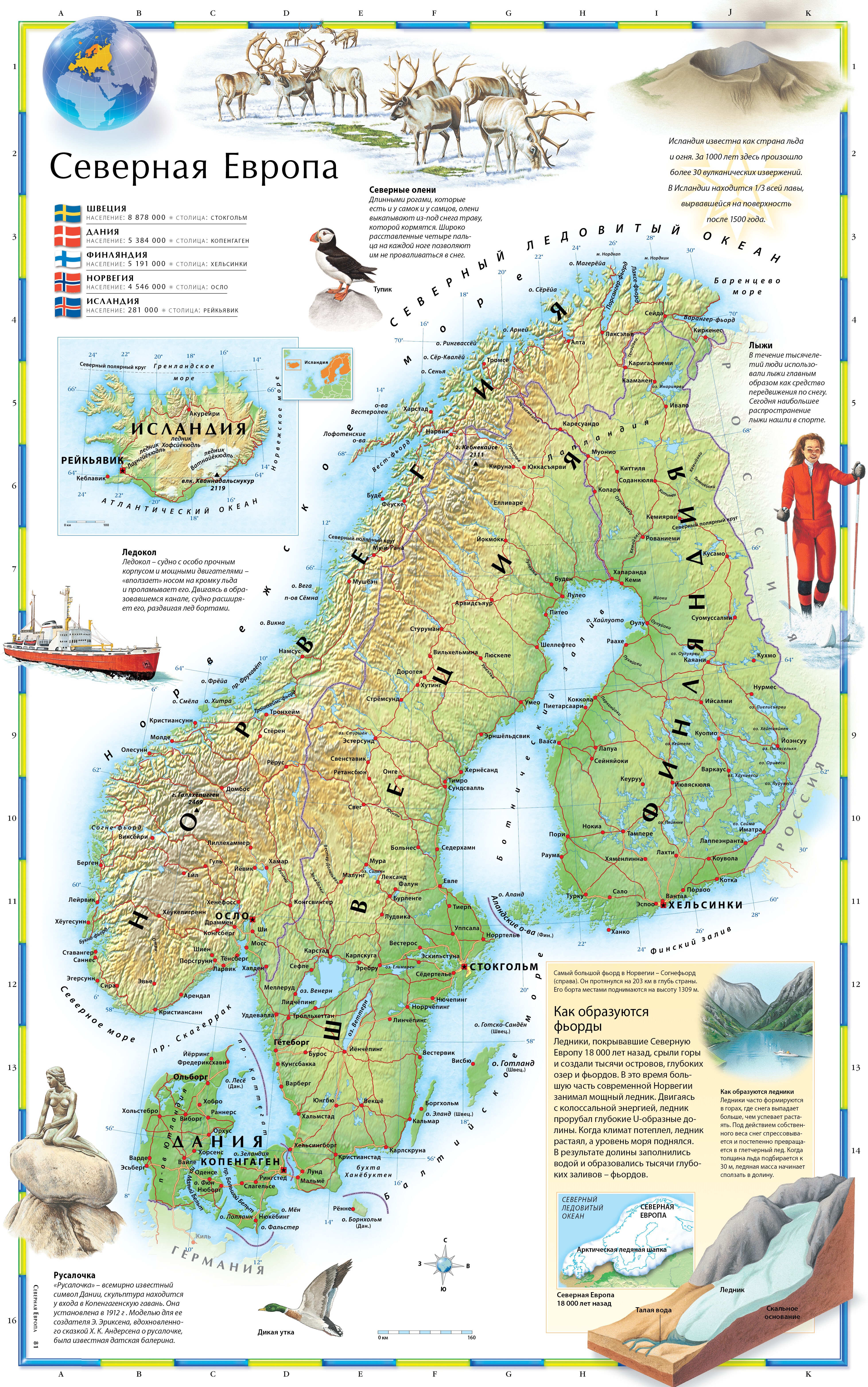
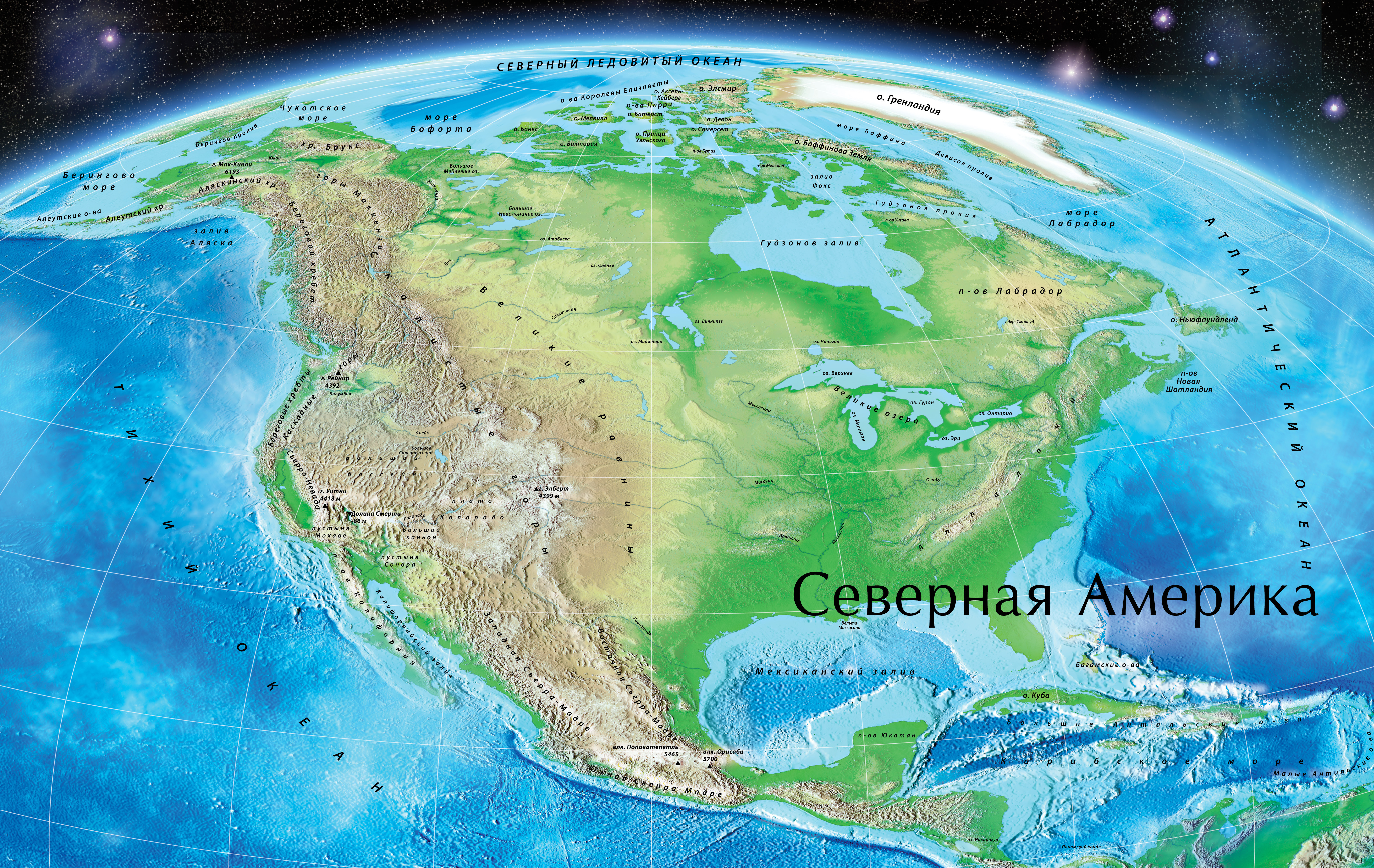
100 detailed maps
Over 1000 drawings and photographs
Pictures of Earth from satellites
The latest information on all regions of the world
A detailed alphabetical index: over 9000 of geographical names
Inset maps and charts that contain a lot of important information
The Atlas will be an indispensable reference tool and a reference book for anyone interested in the economic, physical and political geography of our planet.