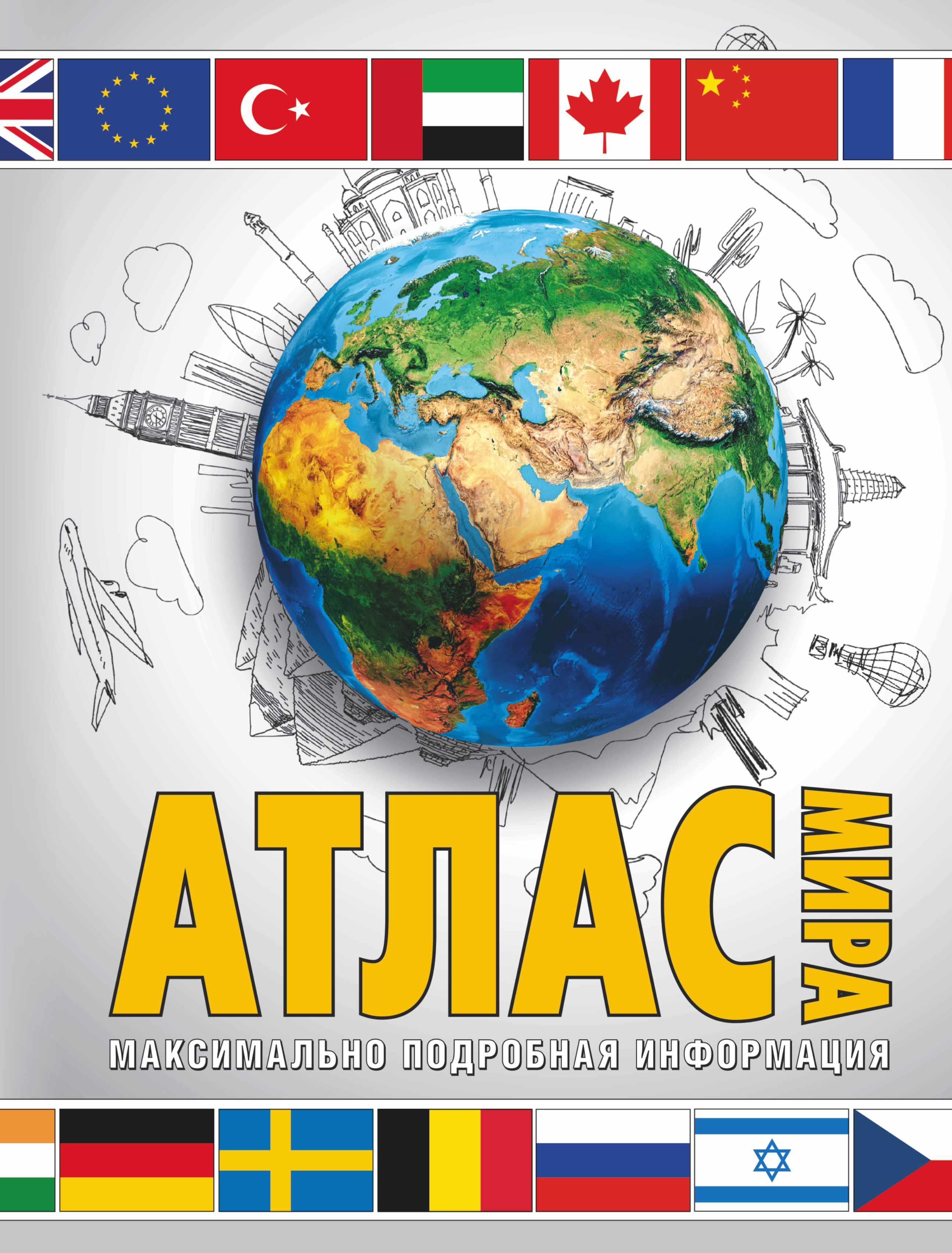
Этот красочный атлас содержит подробные физические и политические карты мира, а также самые необходимые современному человеку сведения о регионах и всех странах мира - их государственном устройстве, населении, истории, экономике, народах и религиях. Для каждой страны приведён её официальный государственный флаг. Указатель атласа позволяет быстро найти нужные страны и города. Атлас рассчитан на самые широкие круги читателей.
Составитель: Юрьева М.В.
10-е издание, исправленное и дополненное.
Etot krasochnyy atlas soderzhit podrobnye fizicheskie i politicheskie karty mira, a takzhe samye neobkhodimye sovremennomu cheloveku svedeniya o regionakh i vsekh stranakh mira - ikh gosudarstvennom ustroystve, naselenii, istorii, ekonomike, narodakh i religiyakh. Dlya kazhdoy strany privedyen eye ofitsialnyy gosudarstvennyy flag. Ukazatel atlasa pozvolyaet bystro nayti nuzhnye strany i goroda. Atlas rasschitan na samye shirokie krugi chitateley. Sostavitel: YUreva M.V. 10-e izdanie, ispravlennoe i dopolnennoe.
This colorful Atlas contains detailed physical and political map of the world, and also the most necessary for the modern human data on regions and all countries of the world - their government structure, population, history, economy, peoples and religions. For each country given its official state flag. Index of Atlas allows you to quickly find the desired country and city. The Atlas is intended for wide circle of readers.
Author: Yur'eva M. V.
10th edition, revised and enlarged.